
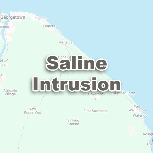
The Saline Intrusion Index uses satellite images to identify areas with salty soils.
Salty soils can make it harder for crops to grow, so knowing where the problem is can help you take action.
Saline Intrusion Index results are shown on a map with different colours or shades to indicate salinity levels.
Positive Values (Above 0):
Areas with high Saline Intrusion values might have salty soils. These are often shown as brighter or brownish colours on the map.
Identify Salty Areas:
Find parts of your land that are too salty for healthy crops.
Plan Soil Treatments:
Apply gypsum or other soil treatments to reduce salinity in affected areas.
Improve Drainage:
Salinity often builds up in areas with poor drainage. Knowing where to focus can help you make drainage improvements.
Better Crop Planning:
Plant salt-tolerant crops in areas where salinity is high.
Salinity levels change over time due to rain, irrigation, or drought. Use the Saline Intrusion Index regularly to track changes.
Combine Saline Intrusion results with what you observe on your farm. Walk the land to confirm areas with high salinity.
Check if water sources are contributing to salinity. Irrigation of water with salt can increase soil salinity over time.